
AI‑Enabled, Rapid 3D Insight From Standard Video in Field Conditions
A Technology Demonstrator for Video-Based 3D Mapping & Change Detection.
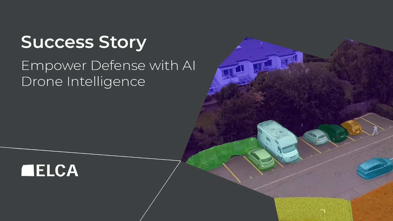
A Prototype for Field-Relevant Drone Video Analysis
This innovation project embodies our passion for combining advanced technologies into meaningful solutions. ELCA is proud of its contribution and excited to continue supporting customers across Switzerland with our Data & AI expertise.
Security challenges evolve quickly, and gaining insight fast under real-world conditions matters as much as technical accuracy. In the context of advancing digital capabilities, the Swiss Society of Defense Technology (STA) launched a series of challenges to encourage collaboration among the Swiss Armed Forces, procurement authorities, businesses, and scientific communities. Participants are invited to present technologies that can bring innovative solutions into practical use. At the “Create the Future!” Innovation Day, one of the challenges focused on advanced differential image analysis, and the STA selected ELCA’s proposal to address it.
A Prototype for Field-Relevant Drone Video Analysis
To showcase their innovative approach while addressing this challenge, ELCA focused on drone video streams, which come with practical constraints such as variations in flight height and path, visibility, and available sensors.
ELCA’s data scientists built a prototype designed to operate effectively with imperfect, realistic airborne video data independent of GPS availability and without relying on specialized high-value sensors. It can operate outdoors and indoors, and future work will focus on aligning reconstructions with existing map data for geolocation where needed.
The system combines cutting-edge SLAM (Simultaneous Localization and Mapping) advances with state‑of‑the‑art computer vision models that represent the forefront of what is currently achievable in video-only analysis. Video capture requires only basic, robust, and easily mass‑producible hardware, while the processing runs on standard GPU‑equipped infrastructure. With automated processing, the system can:
- Generate 3D maps from video streams to reconstruct the environment.
- Detect, localize, and classify relevant objects in the scene.
- Compare multiple flights to identify notable changes.
- Highlight differences that may require analytical attention.
We proposed this solution based on our expertise in advanced machine learning. We are pleased that the Armed Forces saw value in it and look forward to continuing this collaboration and to bringing it toward a reliable capability for field operations.
Daniel Spicar
ELCA Data Science Team
Overcoming Constraints and Advancing Toward Deployment
Even with limited sensors and varying flight or lighting conditions, the prototype demonstrates that automated 3D mapping and change detection from moving camera feeds is feasible today. While further work is required for real‑time use and broader object understanding, the system already enables timely tactical insight within minutes.
The solution shows a clear path toward increased automation in video analysis, supporting faster decisions and improved situational awareness, without relying on specialized high-value equipment.
Looking ahead, scaling the approach, whether through centralized GPU processing or more efficient edge deployments, will depend on mission needs. Ongoing collaboration will strengthen reliability and move the capability closer to operational use in the field.
Potential Civil Applications
While developed for defense use, the approach offers value in civilian scenarios where fast deployment and scalable coverage matter more than survey‑grade precision. Examples include:
- Emergency & Incident Response: rapid on‑site mapping and change detection when specialized assets are not immediately available.
- Temporary Infrastructure & Event Operations: quick scene understanding for setups that change frequently or did not exist the day before.
- Distributed Inspections: consolidating video from multiple teams or platforms to monitor large or evolving areas.
These scenarios benefit from using the moving cameras already at hand, delivering insight when waiting for survey‑grade assets is not an option and enabling coverage at a scale that high-value systems cannot practically match.
We are not competing with high‑precision surveying, we are competing with delay. When the situation changes and decisions need to be made quickly, timely awareness matters more than specialized equipment.
Engineering Innovation with Real-World Impact
This technology demonstrator shows ELCA’s strong engineering DNA and its commitment to leveraging the latest technologies to solve high-impact, real-world challenges.